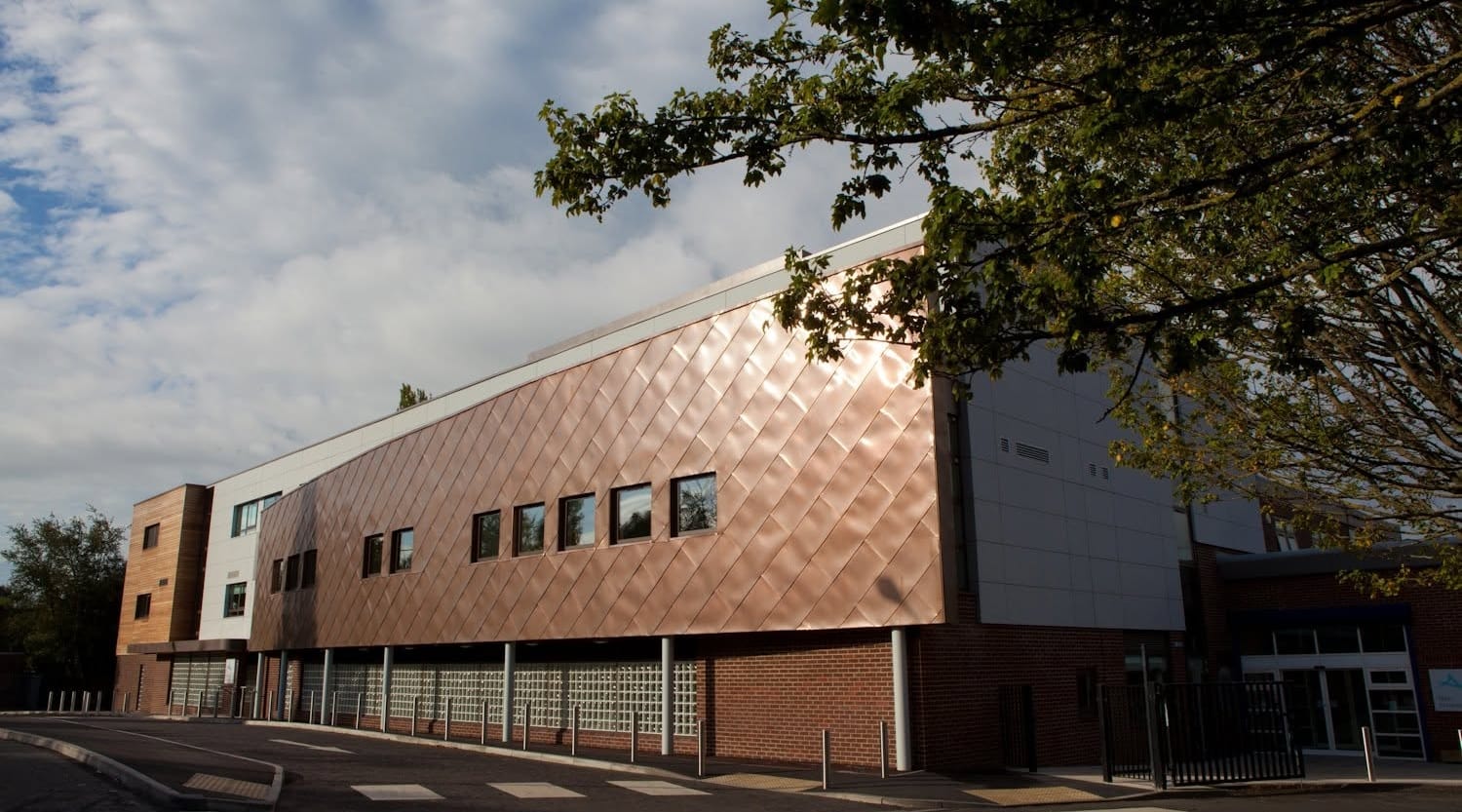
Rear extension
Needs notice if you build a new wall on or astride the boundary, or dig foundations within 3 m of a neighbour's building and deeper than theirs.



 Visit Corelain

Property Prices, Crime Rates, Area & Demographic Insights · Trafford, Greater Manchester
0 shown · click to focus the map
No places listed for this area yet.
HM Land Registry Price Paid Data · 12 months to 31 Jul 2026
vs UK +0.9% (UK HPI, August 2026)
ONS private rents · September 2026 (provisional) · Trafford
Census 2021 · 96,269 households
Average sold price vs. annual growth — 2016–2025, calendar years
Raw average; it moves with the mix of homes sold. Trafford (local authority) · Source: HM Land Registry Price Paid Data.
Indicative
Derived from the data on this page, not an official score. Higher is better on every axis; an axis is left out when its source has no data.
Trafford (local authority)
Trafford residents (borough-wide)
ONS Annual Survey of Hours and Earnings (Nomis) · 2025 (ASHE, April; provisional)
The UK “Big Six” · share of gross lending
Together about 72% of UK mortgage lending. Compare rates, fees and early repayment charges before you choose; Corelain does not give mortgage advice.
Pauzible: Big Six UK mortgage lendersTrafford Community Safety Partnership · 12 months to June 2026
Rates per 1,000 residents. Greater Manchester Police does not publish street-level data, so these are borough-wide.
34% lower than England & Wales
Ofsted · state primary & secondary
All state-funded primary and secondary schools in Trafford. Inspections since Sep 2024 have no one-word grade; since Nov 2025 they use report cards.
Near me
Planning an extension or loft conversion?
Party Wall Surveyors in Trafford
Find out early whether the Party Wall etc. Act 1996 applies. Notices, schedules of condition and awards, handled by a Manchester-based team.
ClearEfficientCompliantFair
Request a free consultation
Stops within 1 km of each Trafford town centre
DfT Transport Connectivity Metric · Connectivity metric 2025
Trams and buses: TfGM timetable (downloaded 2026-10-27). Trains: National Rail lines checked 12 Oct 2026. Busiest services first; school-day buses last.
Environment Agency long-term risk
Coal Authority & ground stability
Defra background maps · live index
Defra background · 2026 annual mean
Declared air quality management areas: Manchester AQMA, Salford AQMA, Trafford AQMA, Warrington AQMA No.1.
Major schemes in Trafford · Brownfield register Trafford (borough)
| Scheme | Type | Units | Location | Status |
|---|---|---|---|---|
New Manchester United Stadium (100,000 seats) Land secured Jun 2026 |
Stadium | — | Old Trafford | Consultation |
Old Trafford Regeneration (OTR MDC) 370-acre district · Chair Lord Coe |
Mixed use | ~15,000 | Old Trafford | MDC launched Jan 2026 |
Trafford Wharfside Masterplan Published Jul 2026 |
Mixed use | — | Trafford Wharfside | Published |
Brownfield register · 3.28 ha |
Housing site | 660 | Trafford | No permission yet |
Brownfield register · 2.91 ha |
Housing site | 150 | Trafford | No permission yet |
Brownfield register · 3.28 ha |
Housing site | 144 | Trafford | No permission yet |
Brownfield register · 2.51 ha |
Housing site | 125 | Trafford | No permission yet |
Heritage & planning constraints
22 conservation areas in Trafford
Planning Data — conservation areas (MHCLG) · Current designations
Which home improvements need a notice under the Party Wall etc. Act 1996
Needs notice if you build a new wall on or astride the boundary, or dig foundations within 3 m of a neighbour's building and deeper than theirs.
Side returns and wrap-arounds usually sit on the boundary line and need new foundations right next to the neighbour's.
Cutting steel beams into the party wall, raising it or removing a shared chimney breast is work to a party wall.
Digging below your neighbour's foundations, and underpinning a shared wall, are both notifiable.
Foundations, piling or deep drainage within 3 m of a neighbour's building, or within 6 m for deeper digs, can need notice.
Inserting beams into a shared wall, cutting in flashings or taking out a chimney breast on the party wall.
Bring Party Wall advice in at design stage, not after tender
Residential architects, architectural technologists, designers, planning consultants, structural engineers and design-and-build practices.
Refer a client and we take notices, schedules of condition and awards off your programme.
Your neighbour in Trafford is planning work
You have 14 days to reply. If you don't, a dispute is assumed and surveyors are appointed. Your three options:
The building owner normally pays the surveyors' reasonable fees, and must make good any damage the works cause.
Get impartial advice from CorelainLatest Trafford headlines
Party Wall and building surveying reviews
47 answers from the sourced figures on this page and the Party Wall etc. Act 1996 · data updated 27 Oct 2026
The average sold price in Trafford was £454,016 in the 12 months to 31 Jul 2026, based on 2,693 sales (HM Land Registry Price Paid Data).
The average sold price rose 4.4% on the previous 12 months. Across the UK, prices changed by +0.9% in the year to August 2026 (UK House Price Index).
The yearly average sold price moved from £296,543 to £445,186 over 2016–2025, a change of about 50%.
Over the last three years, detached homes £796,332 (1,302 sales), semi-detached homes £439,055 (3,705 sales), terraced homes £367,301 (2,266 sales) and flats £233,905 (1,781 sales). Types with few sales are less reliable.
The average private rent in Trafford was £1,373 a month in September 2026 (+3.0% on a year earlier), from the ONS Price Index of Private Rents. By size: one-bed £946, two-bed £1,205, three-bed £1,488 and four-plus-bed £2,113.
At the 2021 Census, 70% of the 96,269 households in Trafford owned their home (including shared ownership) and 30% rented: 15% from a private landlord and 15% from a council or housing association.
Full-time employees living in Trafford earned a median £42,973 a year in 2025 (ONS Annual Survey of Hours and Earnings), against £39,243 for England. The average sold price is about 10.6 times that salary.
235,052 people lived in Trafford at the 2021 Census, in 96,269 households (about 2.44 people per home). 20% were under 15 and 18% were 65 or over.
Trafford Community Safety Partnership recorded 54.6 crimes per 1,000 residents in the 12 months to June 2026, 34% lower than the England and Wales average of 83.1 (Home Office). The figure is borough-wide, so individual streets can differ.
Trafford recorded 54.6 crimes per 1,000 residents in the 12 months to June 2026, compared with 104.1 in Manchester (Home Office police recorded crime, excluding fraud).
Violence and sexual offences ran at 21.0 per 1,000 residents in Trafford in the 12 months to June 2026, against 34.9 across England and Wales.
Greater Manchester Police has not published street-level crime records to police.uk since 2019, so neighbourhood rates are not available. The Home Office borough figures are the most reliable published measure.
Of the 82 schools counted, 11 Outstanding, 43 Good, 10 with a new report card, 3 below Good and 15 with no overall grade. Corelain's indicative school score is 7.9 out of 10 (Latest inspections as at 30 September 2026).
Ofsted stopped giving a one-word overall grade in September 2024. Since November 2025 inspections produce a report card that grades each area separately, from Exceptional to Urgent improvement.
Trafford scores 73 out of 100 on the Department for Transport connectivity metric (Connectivity metric 2025), with 75 for public transport and 69 for walking.
The nearest Metrolink stop to the centre of Trafford is Brooklands Metrolink (1.1 miles, about 28 minutes on foot). There are 12 bus stops within 400 metres (NaPTAN).
The nearest rail station is Navigation Road station (1.8 miles). Manchester city centre is about 5.9 miles away in a straight line.
Metrolink stops within 1 km of Trafford are served by the Pink Line (East Didsbury – Rochdale Town Centre), the Navy Line (Manchester Airport – Victoria), the Yellow Line (Eccles – Piccadilly), the Red Line (Trafford Centre – Crumpsall), the Purple Line (Altrincham – Etihad Campus) and the Green Line (Altrincham – Bury). See the Bee Network tram map for the full network.
The busiest bus services stopping within 1 km of Trafford include the 263 (Altrincham – Manchester), the 250 (Manchester – Trafford Centre), the 256 (Manchester – Flixton) and the 67 (Manchester – Cadishead), from the TfGM timetable.
Stations near Trafford: Navigation Road (Manchester Piccadilly – Chester) and Chassen Road (Liverpool Lime Street – Manchester Oxford Road).
Parts of Trafford, mainly along its rivers and canals, are in Flood Zone 3 (high probability of flooding from rivers and the sea); most of the borough is in Flood Zone 1 (Environment Agency flood map for planning). Surface water risk is mapped separately and varies by street.
Risk, especially from surface water, varies from street to street, so check the exact address on the Environment Agency's long-term flood risk service (check-long-term-flood-risk.service.gov.uk) before you buy.
Trafford is partly within the coal mining reporting area (development low risk) (Mining Remediation Authority). A coal mining report on the specific property is still advisable before buying.
Trafford is in radon potential class 1 of 6, where <1% of homes above the action level.
Modelled background levels are about 11.2 µg/m³ of nitrogen dioxide, 6.7 µg/m³ of PM2.5 and 11.7 µg/m³ of PM10 (2026 annual mean (projection from the 2021 base year), Defra). The UK annual limits are 40, 20 and 40 µg/m³; roadside levels can be higher.
Trafford is near the Manchester AQMA, Salford AQMA, Trafford AQMA and Warrington AQMA No.1 (Defra). Councils declare these where a national air quality objective may not be met.
The live European AQI gauge uses the Open-Meteo air quality model. It is a modelled value for the area, not a reading from a single roadside monitor.
Major schemes include New Manchester United Stadium (100,000 seats), Old Trafford Regeneration (OTR MDC) and Trafford Wharfside Masterplan. Check Trafford Council's planning search for individual applications.
The council brownfield land registers list 62 sites near Trafford with room for about 1,840 homes; 37 already have planning permission.
The centre of Trafford is outside a conservation area. Conservation areas nearby include Ashton Upon Mersey (designated 1976), Brogden Grove (designated 1976) and Linotype (designated 1985) (planning.data.gov.uk).
There are 22 conservation areas in the search area for Trafford. Extra planning controls apply inside them.
There are 434 listed buildings Trafford (borough): 12 Grade I, 20 Grade II* and 402 Grade II. Notable ones include Church Of St Martin (Grade II*), Church Of St John The Divine (Grade II*) and Church Of St Michael (Grade II*) (Historic England).
Yes — parts of the borough are Green Belt (planning.data.gov.uk).
Places near the centre of Trafford include Old Trafford Stadium (stadium), Trafford Centre (shopping centre), IWM North (museum) and Dunham Massey (park) (OpenStreetMap).
Often, yes. Under the Party Wall etc. Act 1996 you must serve notice before building a new wall on or astride the boundary (section 1), doing work to an existing party wall such as cutting in steel beams for a loft conversion (section 2), or excavating within 3 metres of a neighbour's building and deeper than its foundations, or within 6 metres for deeper excavations (section 6). The Act applies across England and Wales, including Trafford.
One month for a new wall at the boundary or for excavation, and two months for work to an existing party wall. A notice lapses if the work has not started within 12 months.
If an adjoining owner does not reply within 14 days, a dispute is treated as having arisen. Surveyors are then appointed to agree a party wall award that sets out how and when the work can be done.
The building owner, the person doing the work, normally pays the reasonable fees of both their own surveyor and the adjoining owner's surveyor.
Not for notifiable work. You need your neighbour's written consent or an agreed award first. Starting early can lead to an injunction and delay.
No. Planning permission, Building Regulations approval and the Party Wall Act are separate. The same extension may need all three.
Read it carefully and reply in writing within 14 days. You can consent, or dissent and either share one impartial surveyor (an agreed surveyor) or appoint your own.
Usually not. The building owner normally pays the reasonable costs of the adjoining owner's surveyor.
A party wall award normally includes a schedule of condition recording your property before work starts. The building owner must make good any damage the work causes, or pay compensation.
No. The Act does not let you block work that is otherwise allowed. It controls how the work is done and protects your property while it happens.
At design stage, before tender. Notice periods of one to two months, plus time to agree an award, can affect the build programme, and early advice can reduce notifiable work through design.
Notices can be served on the building owner's behalf, but a notice that is drafted or served incorrectly can be invalid. Many architects refer clients to a party wall surveyor so notices and awards are handled correctly.
Through corelain.com/contact or by phone on 0161 820 1121. Corelain handles notices, schedules of condition and awards so the project stays on programme.